Contents
Description
Map
Explore
Excursions
History
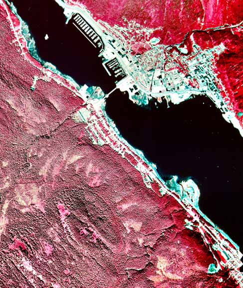
Aerial
Photos
Anchorage
Juneau
Ketchikan
Sitka
Skagway
Valdez
Vancouver
Victoria
Alaska
Itinerary
Ports
Wildlife
Culture
References
 |
Frame: 86
1982
Street Map | Topographic
| Aerial Photo | Alaska3D