Contents
Description
Map
Explore
Excursions
History
Topo
Maps
Anchorage
Juneau
Ketchikan
Sitka
Skagway
Valdez
Vancouver
Victoria
Alaska
Itinerary
Ports
Wildlife
Culture
References
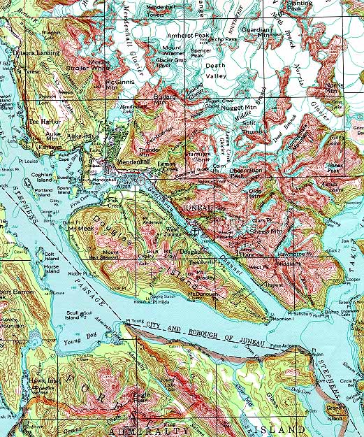 |
Juneau, Alaska Quad
1:250,000
Street Map | Topographic
| Aerial Photo | Alaska3D