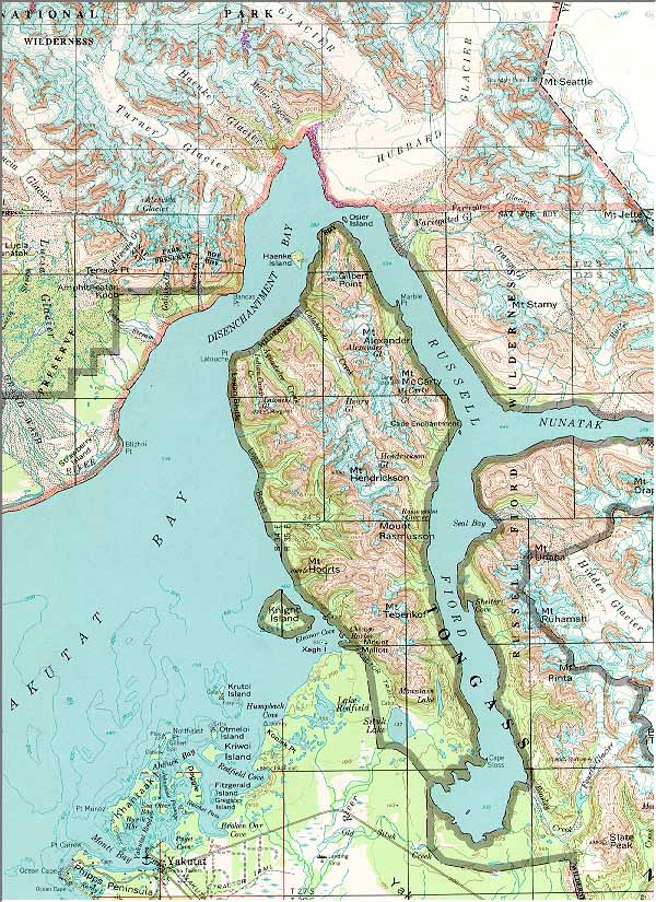
Mt. Saint Elias, Alaska—1959, Limited
Revisions 1983
Yukutat, Alaska—1959, Limited Revisions 1982
Scale: 1:250,000
Source: U.S.Geological Survey. This map is a composite from
the above.
Locator | Topographic | Aerial | Alaska3D
World | Alaska | Far East | Mediterranean | Panama Canal | South America
Cruise on the Web Home Page
© Copyright 1997, 1998 Brenton T. White. Many
of the photos and maps are courtesy of Crystal Cruises.
Please e-mail comments about this website to: Webmaster.
Last modified: July 25, 2005.